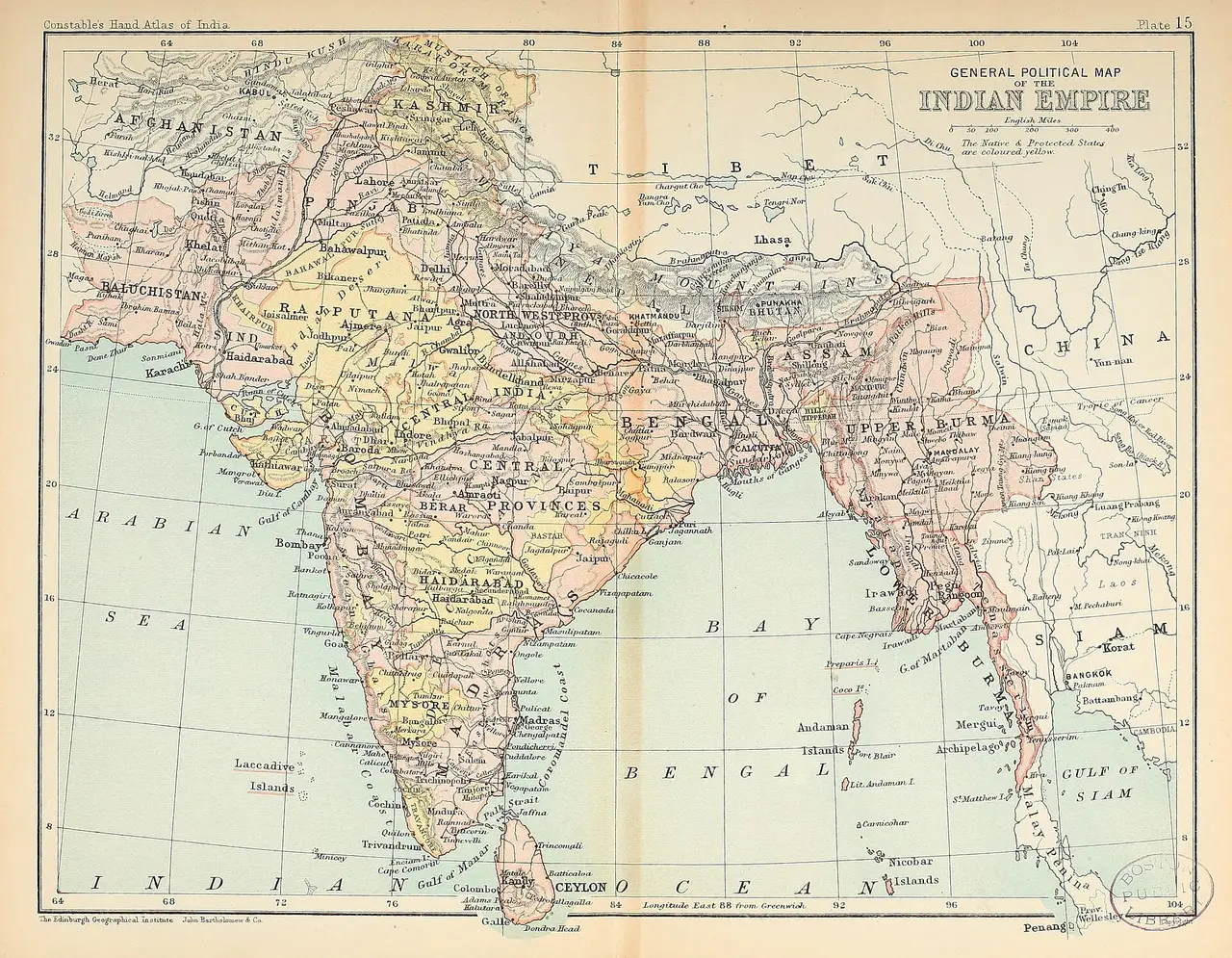
General political map of British India
A political map of the British Indian Empire from a reference atlas, colouring the provinces and princely states of the subcontinent.
Open the original (2,994 × 2,326 px) (opens in a new tab)
- By
- The Edinburgh Geographical Institute / John Bartholomew and Co.
- Licence
- Public domain (opens in a new tab): free for any use, including commercial
- Source
- Wikimedia Commons (opens in a new tab)
- Tags
- india, map, political map, atlas
Credit (appreciated, not required)
Photo: The Edinburgh Geographical Institute / John Bartholomew and Co. via Pixy (https://pixy.org/549130/)