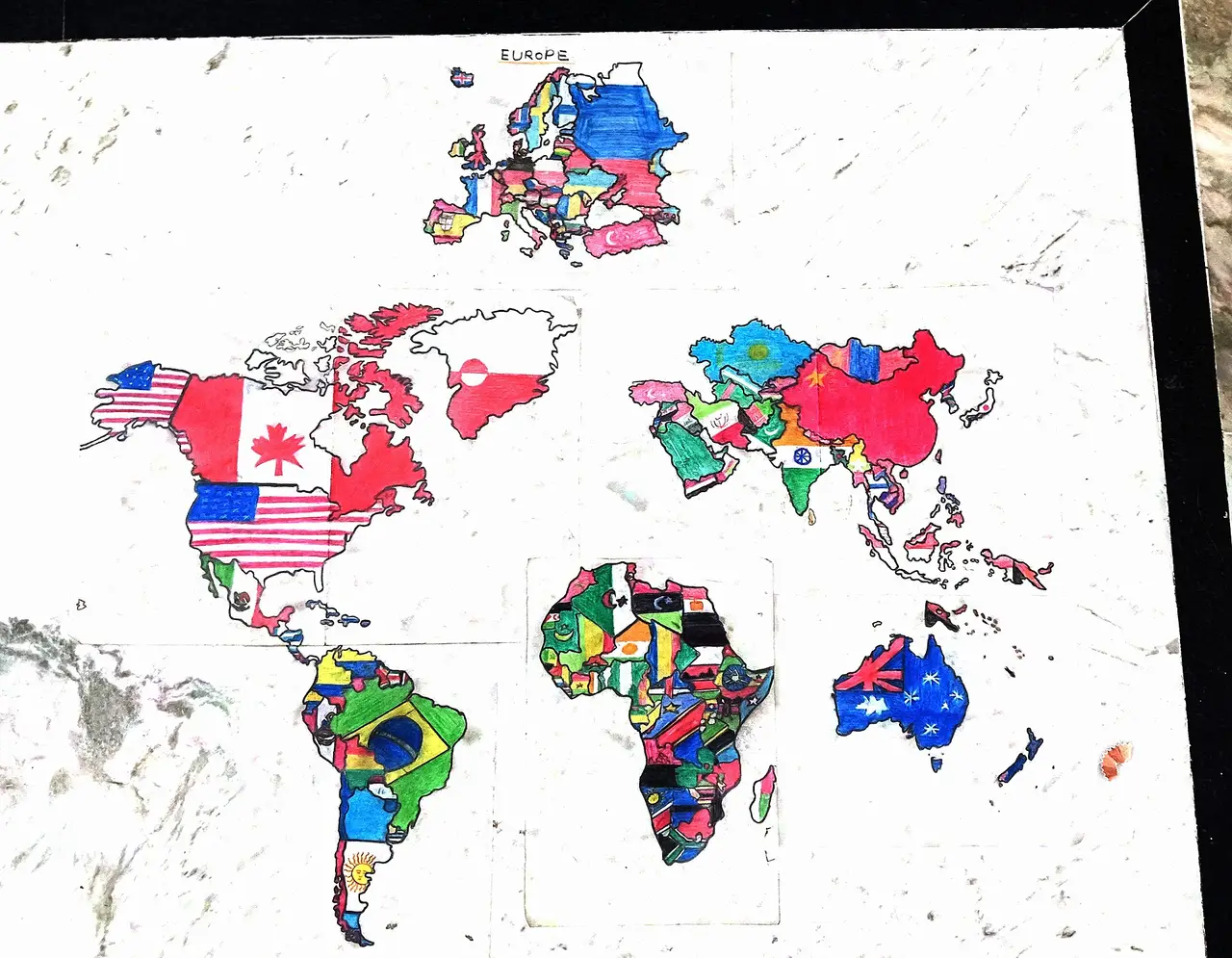
Hand-drawn world map filled with national flags
A hand-drawn world map in which each country is filled with its national flag.
Open the original (3,648 × 2,836 px) (opens in a new tab)
- By
- Rixhav
- Licence
- CC0 (opens in a new tab): free for any use, including commercial
- Source
- Wikimedia Commons (opens in a new tab)
- Tags
- world map, flags, countries, hand drawn
Credit (appreciated, not required)
Photo: Rixhav via Pixy (https://pixy.org/325573/)